Here is a map of where we traveled and waypoints at Cardigan Mountain for the Second Day.
Last updated December sixth
Here is a map of where we traveled and waypoints at Cardigan Mountain for the Second Day.
On the second day of the Cardigan trip we climbed Mount Cardigan. In the morning we had eggs and bacon with french toast sticks. Our group then met up at the lounge area and got our lunches. Next we started the hike. On the hike up to Cardigan we saw a lot of things such as moss, trees, rocks, animal tracks, streams, and more. As we reached the summit of Mount Cardigan I saw a fire tower and a bunch of rocks. At the top we saw lakes, rivers, ponds, trees, and the lodge in the view. After a while we started the hike down the steep mountain. We then went back to the lodge and had hamburgers for dinner and saw a skit. Than we got to see the animals, and than had a skit contest followed by stargazing activities. Lastly, we were told another story than went to bed. It was a beautiful view at the Top of Mount Cardigan that I hope to see again.
Regions are areas that are defined by their characteristics and the way they look. (Regions are also one of the five themes of geography!) For example countries are a great example of regions, because of their borders. Another example is between Hopkinton and Contoocook they have imaginary lines that separate them from one another. An example at Cardigan would be the different zones of the mountain like the boreal and alpine zone. You can really find religions or make regions anywhere you go.
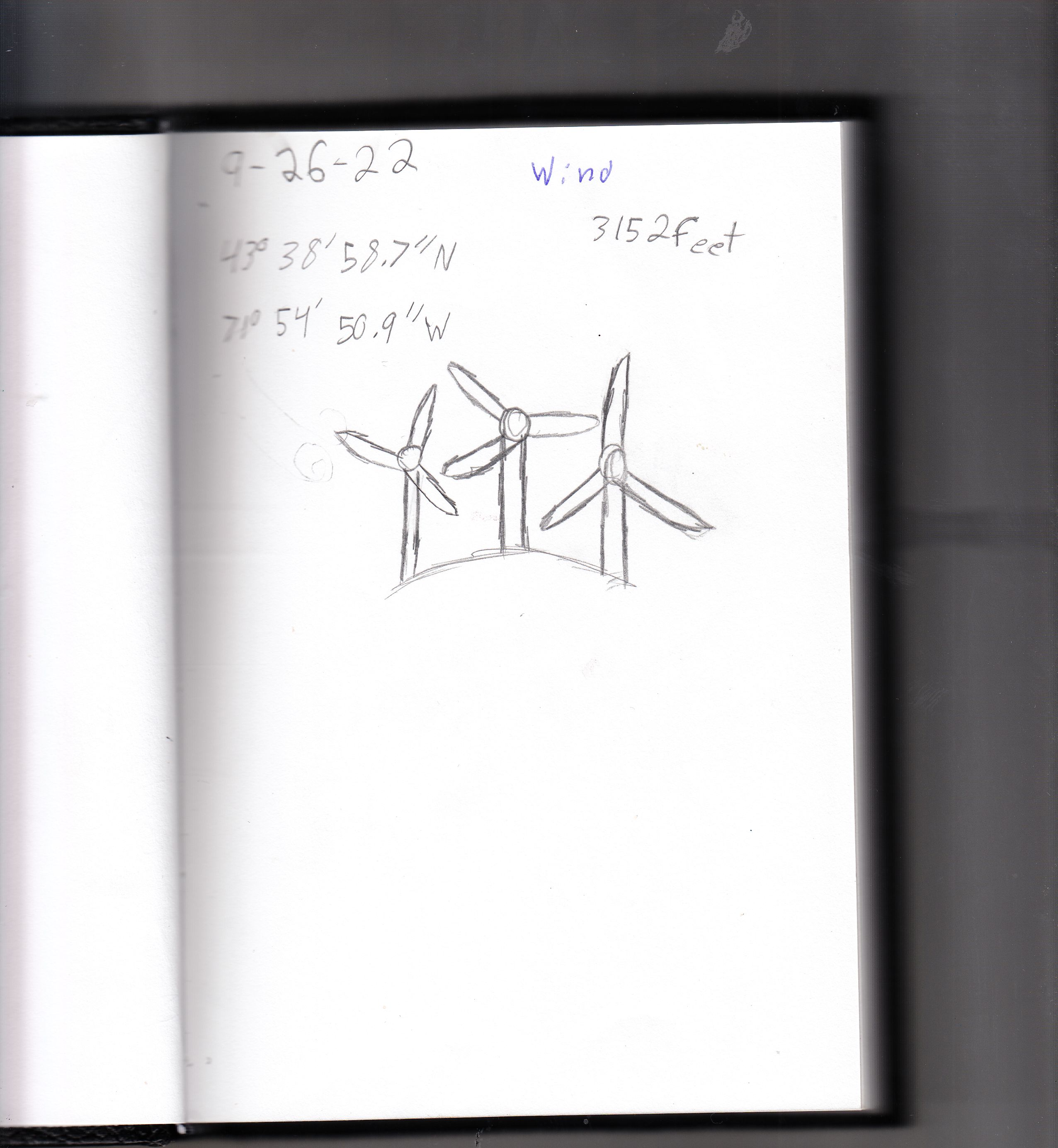
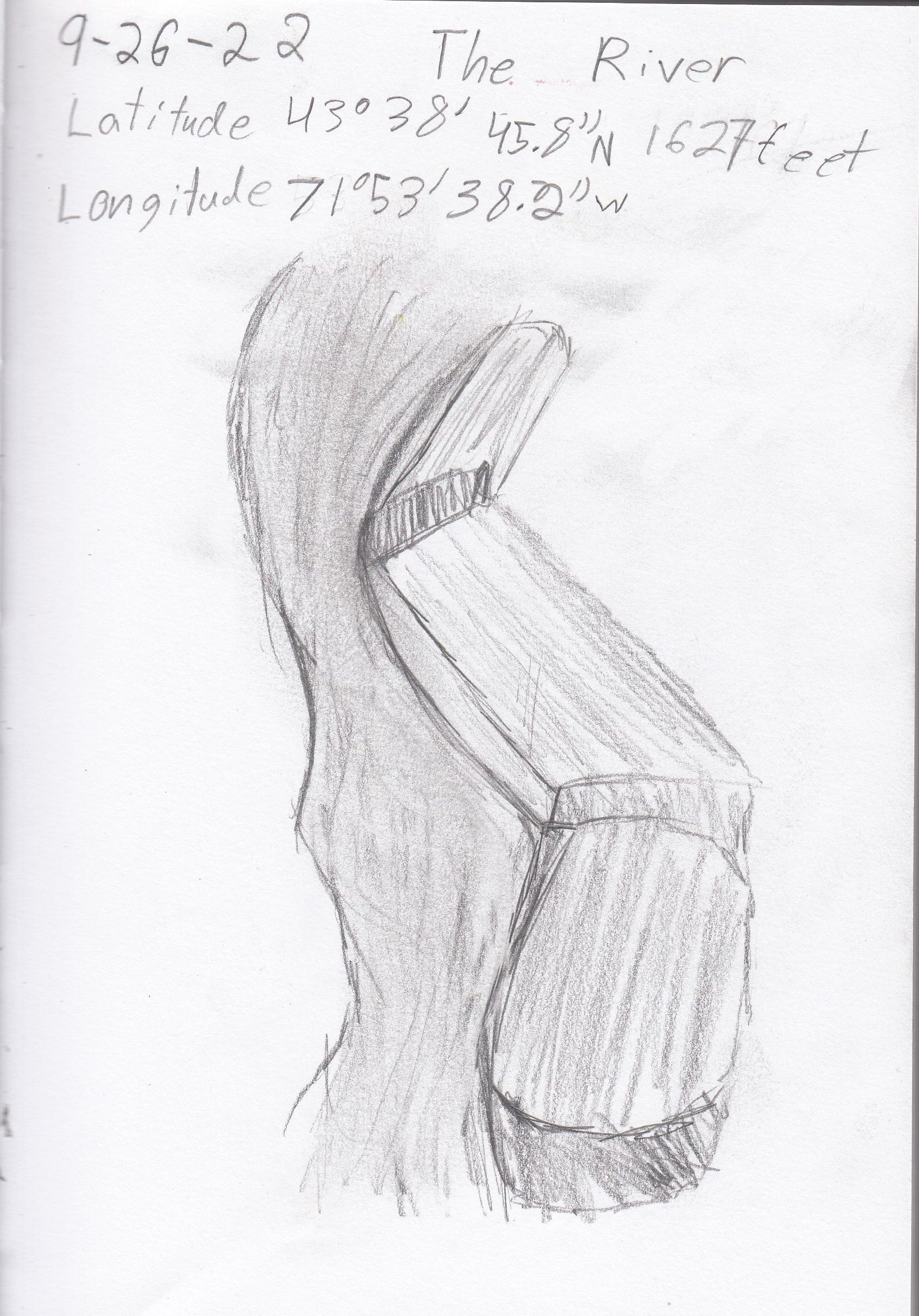
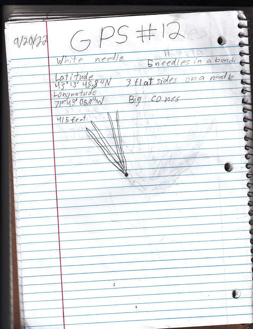
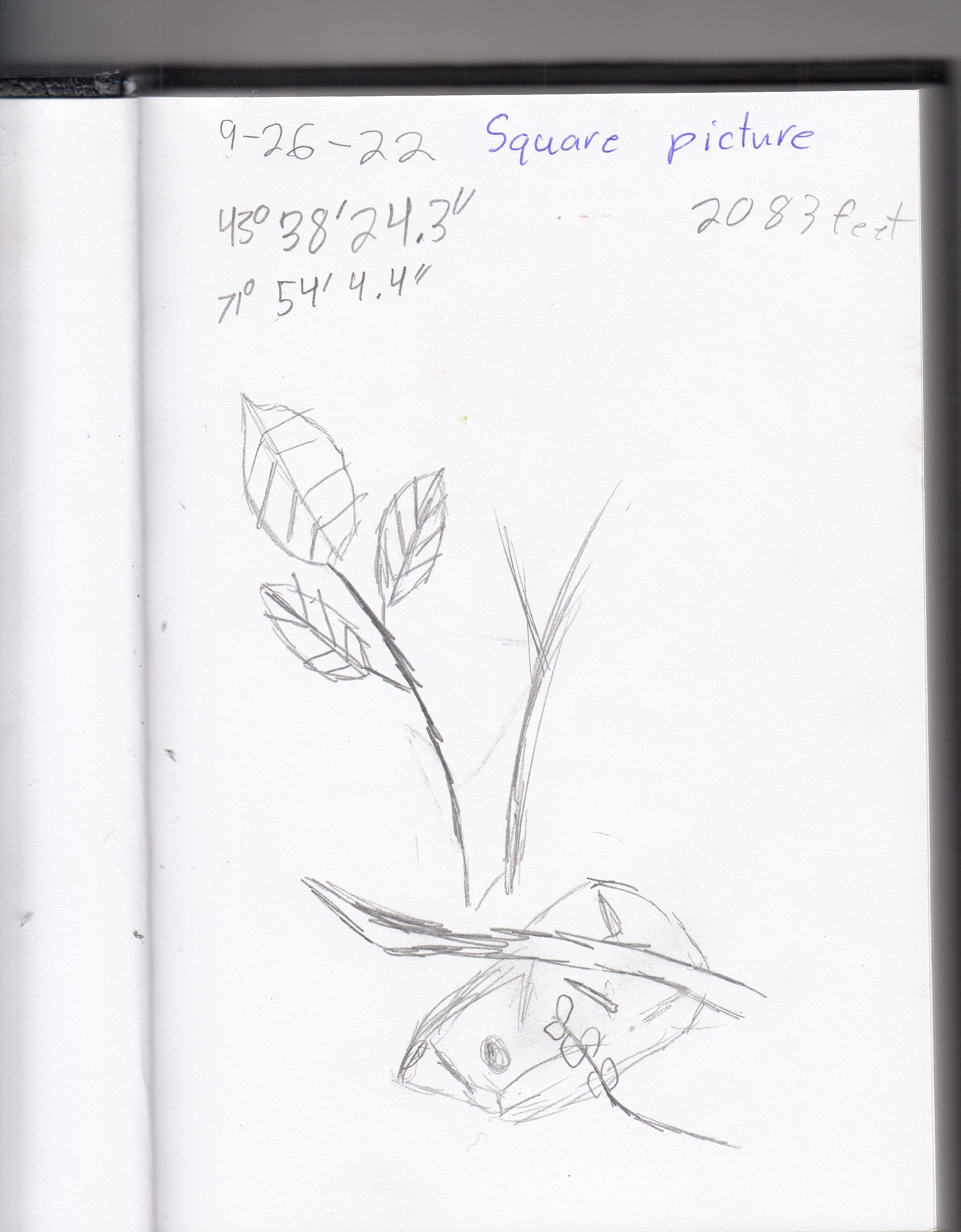
More Pictures